Rush Ranch – Solano Land Trust Wrap Up
Posted on 13 March 2010 | No responses
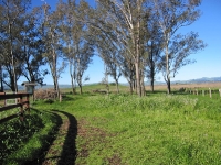
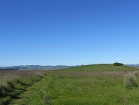
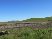
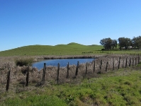
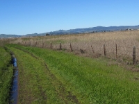
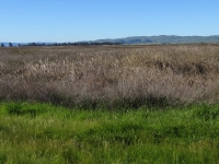
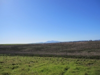
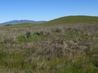
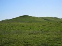
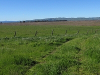
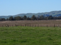
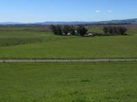
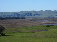
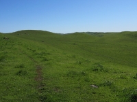
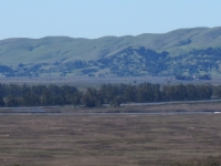
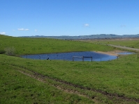
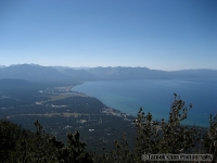
Finally, some good weather. Although the trails were a bit muddy, over 21 adventurers enjoyed a beautiful day discovering Rush Ranch. The Marsh Trail and Southern Pasture are relatively flat and easy to transverse. The beauty of this open space and the wilderness it supports is fantastic. There is a replica of a Patwin Indian shelter and food storage unit made from reeds. On two sites, we were able to see the remnants of the grinding stones the Patwin’s used to prepare foods and grind grains. The Suisun Hill is the third trail and has about a 500′ incline. The view from the summit was fabulous. Rush Ranch is part of the Solano Land Trust and sponsors docent led hikes and special events throughout the year (check their link for their calendar). They work closely with the schools and scouting programs to enhance youth involvement and appreciation of our wonderful natural resources.
City of Fairfield Open Space – Serpas Trail
Posted on 9 March 2010 | No responses
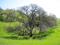
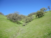
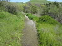
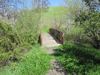
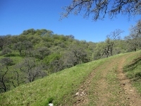
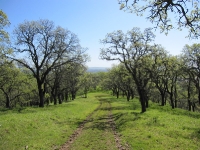
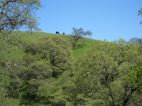
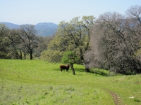
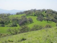
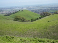
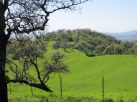
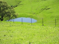
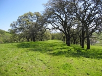
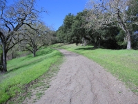
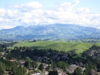
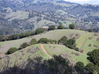
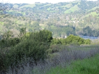
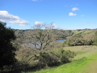
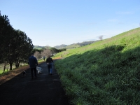
I am constantly amazed at the hidden hiking treasures all around us. Last weekend, I hiked the Serpas Trail which is part of the City of Fairfield Open Space. I’ve included photos from the trail and a site map for the areas. The trail is off Sanctuary Drive in Rolling Hills. Nestled at the corner is a spacious parking lot. You hike along side the housing subdivision across a little bridge over the creek. A convenient hiking pass opens into an inviting cattle range.
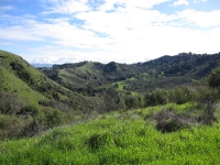
The climb up to the ridge is moderate, but well worth the climb. There are meadows and a tranquil grove of trees. The views are stunning and hikers can view Twin Sisters and the valley floor. Mt. Diablo rose from the horizon. I traveled a loop of approximately 2 to 3 miles – very nice. I’m anxious to travel this trail again.
The park rangers at the City of Fairfield were fantastic to work with. They are helpful and informative. They are working to improve the trails. It was a real treat to hike this trail. Check out the photos and maps.
Rush Ranch Nature Trail
Posted on 27 February 2010 | 1 response
Date: March 13, 2010
Time: 9:00 – 12:00
Location: Rush Ranch – Solano County
Trail Distance: Marsh Trail 2.2 mi – if you are game, will then walk Southern Pasture Trail 2.4 mi – if you want incline, then we will follow with the Suisun Hill Trail 2 mi.
Level of Difficulty: Easy – Mostly level dirt path on Marsh Trail and Southern Pasture Trail. Suisun Hill Trail is moderate.
Elevation Change: Minimal on Marsh and Southern Pasture Trails. Suisun Hill has a 500 foot elevation and great views.
Children: Dirt Path
Dogs: Dogs not allowed on Marsh Trail or Southern Pasture Trail…. Dogs allowed only on Suisun Hill Trail
Cost: Free
Directions: Highway 12 to Grizzly Island Road. Follow road to Rush Ranch.
* Be sure to check weather (sufficient apparel); bring water; try to carpool; allow travel time
Lafayette Reservoir Trail Wrap Up
Posted on 27 February 2010 | 1 response
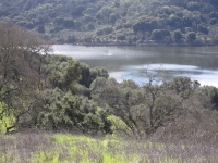
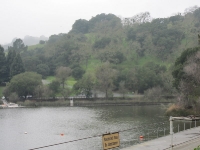
Despite the abundance of rain Friday night and Saturday morning in Fairfield, the Lafayette Reservoir was dry and beautiful. Due to the possibility of slippery slopes along the Rim Trail, we decided to hike the Lakeside trail. It was gorgeous. We were able to see a flock of wild turkeys. Pelicans and ducks gracefully glided on the water, with an occasional dip for something tasty. It is amazing how tranquil the trail is, considering how close we were to civilization. The Lakeside trail is paved and easily traversed. This hike was a great way to start the morning.
Some of the photos were taken this morning – others from an earlier hike.
Lafayette Reservoir Recreation Trail
Posted on 21 February 2010 | No responses
Date: February 27, 2010
Time: 9:00 – 12:00
Location: Lafayette Reservoir Recreation Area
Trail Distance: Rim Trail – 4.7 miles….. Lakeside Trail – 2.7 miles
Level of Difficulty: Rim Trail – Moderate (lots of incline)….. Lakeside Trail – Easy (paved)
Elevation Change: Rim Trail – Multiple changes (some steep)….Lakeside Trail – minimal
Children: Strollers will work on paved Lakeside Trail… There is a playground and picnic tables
Dogs: Okay on 6′ Leash – Owners responsible for dog toiletry cleanup
Cost: $6/car parking – Try to carpool
Directions: 680 to 24 West – Exit Acalanes/Mt. Diablo Exit – Go under freeway – Turn left on Mt. Diablo Blvd to Lafayette Reservoir Recreation Site.
* Be sure to check weather (sufficient apparel); bring water; try to carpool; allow travel time
Download the Lafayette Reservoir Recreation Trail Map:
 Lafayette Resevoir Trail (1.9 MiB, 2,090 hits)
 Layfayette Resevoir Info (2.0 MiB, 2,582 hits)
Lagoon Valley Meet and Greet
Posted on 13 February 2010 | 2 responses
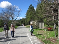
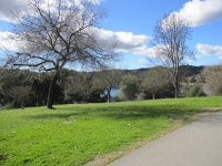
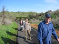
On Saturday, February 13, 2010 we had our first official Solano County Hiking Club activity. It was a beautiful day at Lagoon Valley. We had the opportunity to share stunning views, good company, family fun, and enjoy nature’s surroundings……….
SolanoHiking.com Created
Posted on 7 February 2010 | No responses
We are very excited to announce the creation of SolanoHiking.com. The Solano County Hiking club received the blessings from the Risk Management at the County and should appear in the next “What’s Happening” from HR. This will open participation with all the County departments and we’re putting together this website and Facebook fan page.
We hope to have many exciting hikes around northern California. We have several planned for the upcoming weeks and hope to see you all there.
